GNSS-R (GNSS Reflectometry)
Back to Portfolio
GNSS & Navigation

GNSS-R (GNSS Reflectometry)

Reflected Signal Remote Sensing Platform

Project Overview

GNSS satellites transmit free source of coherent radio waves illuminating the Earth's surface 24 hours a day, these signals are also reflected from different objects and can be utilized in various remote-sensing applications as they contain valuable information regarding the reflecting surface. Large number of GNSS satellites are available including US Navstar GPS (24 to 32 satellites), the Russian GLONASS (24 satellites), the European GALILEO (30 satellites) and the Chinese BeiDou or COMPASS (35 satellites). These numerous GNSS sources are continuous, all-weather and near-real-time microwave (L-band) signals are available through the Earth's atmosphere. GNSS based remote sensing has the attraction that user can take advantage of the expensive GNSS infrastructure maintained for navigation purposes and no dedicated transmitter is required.

GNSS Hardware Setup

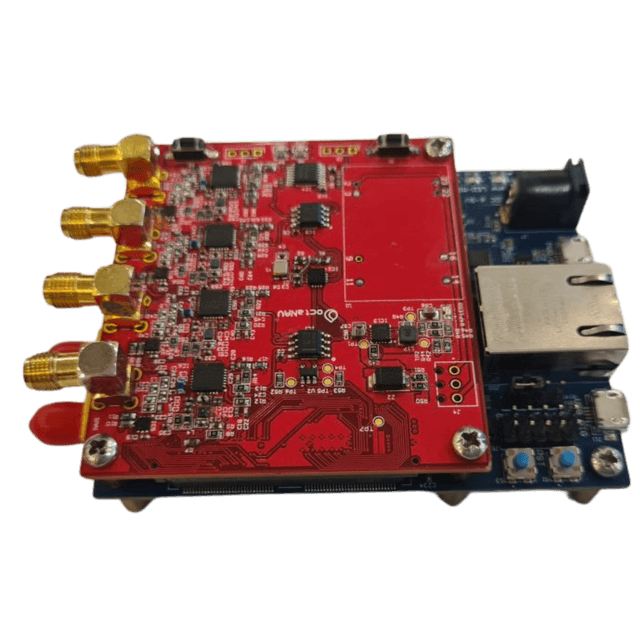
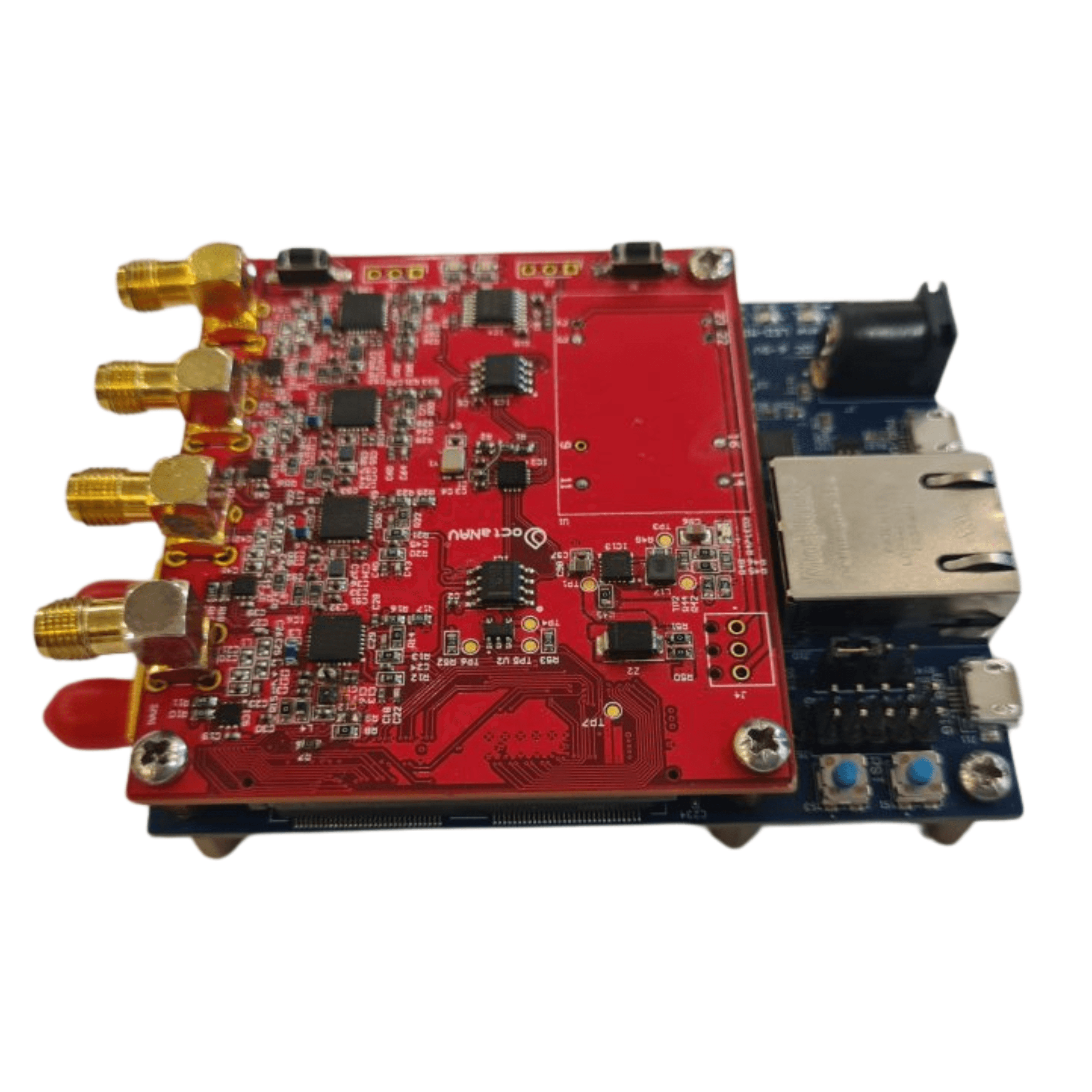
Figure 1: GNSS Hardware Setup

System Hardware

Typically, the GNSS remote sensing hardware consists of:

LHCP (left hand circularly polarized) high gain directional antenna to acquire reflected signals
Electronic circuit with RF front end to receive data
At least two RF front ends - one for direct signals, one for reflected signals
Signals received, amplified, down-converted, and digitized into near base band samples
Customized algorithms/software modules for information extraction

Advanced Signal Processing

The major challenge is the reception of weak reflected GNSS signals with low SNR. Our approach:

Select and lock direct signal from specific satellite as reference for reflected signal
Array signal processing with multiple antenna elements
Adaptive beam forming with adjustable gain and phase
Beam pattern steered toward reflected signal or specular point (maximum return)

Remote Sensing Applications

The reflected GNSS signals have the potential to be applied in various remote sensing applications:

Ocean MonitoringCalculate mean sea height, wind speed and direction, and significant wave height
Ice AnalysisAscertain ice age, thickness, and surface ice density
Land MeasurementMeasure soil moisture content, biomass, wetland, forest change detection, and bi-static imaging
Additional ApplicationsCyclone monitoring, passive altimetry, ship detection, and GNSS-based passive radar

Outcomes & Impact

Developed Four channel GNSS SDR device for signal acquisition and processing
Versatile hardware for GNSS-based remote sensing, anti-jamming, and array antenna beamforming
Ongoing development of software algorithms for GNSS-R
Anti-jamming and spoofing GNSS receiver development

Project Info

Client

In-house Project

Category

GNSS & Navigation

Key Features

Utilizes free GNSS signals - no dedicated transmitter required
Continuous, all-weather, near-real-time microwave (L-band) signals
Access to 100+ satellites across GPS, GLONASS, GALILEO, and BeiDou
Four channel GNSS SDR device for signal acquisition and processing
Anti-jamming and array antenna beamforming capabilities
Customized algorithms for remote sensing data extraction

Tech Stack

GNSS SDRSignal ProcessingBeamformingAdaptive AntennasRF Front EndC++Python

Tags

GNSSRemote SensingSignal ProcessingSDRGPSGLONASSGALILEOBeiDou